


My new favourite mapping service
Permalinks to this entry: individual page or in monthly context. For more material from my journal, visit my home page or the archive.
It doesn't quite work fully on my Macs yet, but Look Local is my new favourite mapping site, because it lets you use data from Microsoft's Windows Live maps, Google Maps, and Yahoo! Maps, and switch between them with a single click—and also provides a nifty "lens" view over the map that lets you do such cool things as embed a satellite photo view within a street map view, link up to traffic cams, and so on.
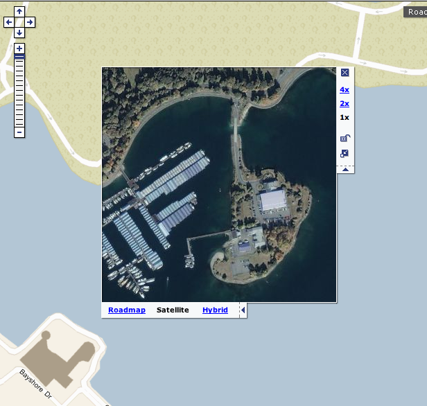
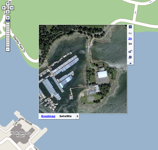
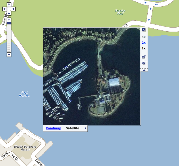
Check out how you can flip between different maps and satellite photos with a single set of controls in this view of Daedman's Island in Stanley Park, here in Vancouver:
![]()
The service's parent company, Idelix, has done work in the "defense and intelligence market," so I can only imagine what kinds of advanced wacky stuff they have that no one's even allowed to see. They're based in Vancouver too.